The Sannat-Ta' Ċenċ cliffs and the San Lawrenz-Gharb walks. Unmarked paths, no facilities, the best of Gozo on foot. Spring and autumn only.
Gozo’s coastline is the most under-walked stretch of Mediterranean cliff in Europe. The island has roughly 56 km of coastline, most of it limestone cliff dropping into the sea, almost none of it served by waymarked paths or tourist infrastructure. The two routes below are the strongest for travellers who want a serious half-day walk with cliff views, archaeological elements, and almost no other people.
Both are unmarked. Both require basic Mediterranean walking competence (sturdy footwear, water, sun protection, navigation by visible landmarks). Both reward the effort.
Route 1: Sannat to Ta’ Ċenċ cliffs
Sannat is a small village in south-central Gozo, 4 km from Victoria. The cliffs at Ta’ Ċenċ are the tallest on Gozo, dropping 130 metres into the southern Mediterranean. The walk follows the cliff edge from Sannat to the Ta’ Ċenċ headland and back.
Distance: 5 km return. Time: 90 minutes at a brisk pace; 2-3 hours unhurried. Difficulty: easy underfoot but exposed (no shade, no facilities). Best months: March-May and September-November. Avoid June-August (heat).
Route:
- Park near the Sannat parish church (Triq il-Knisja).
- Walk south-west along Triq Ta’ Ċenċ (the small road that exits the village toward the cliffs). About 800 metres.
- The road becomes a dirt track. Follow it to the cliff edge (10 more minutes).
- At the cliff edge, turn left (east) and follow the cliff for as long as you want. The track is faint but visible. About 1.5 km east, the cliffs reach their highest point near the Ta’ Ċenċ Hotel (a private resort; the path skirts the hotel grounds).
- Return on the same route.
What you see:
- The cliffs themselves, dropping vertically to the open Mediterranean.
- Small uninhabited islands offshore (Iż-Żebbiega and the smaller rocks).
- The southern Gozitan agricultural landscape inland.
- In spring, wild flowers along the cliff edge: thyme, fennel, sea daffodil, wild garlic, asphodel.
- The occasional shepherd with a small flock of goats.
Practical notes:
- No safety barrier. Stay 2-3 metres from the cliff edge. Supervise children carefully.
- No facilities. Bring water (1.5 litres per person) and a small picnic if you stay long.
- The Ta’ Ċenċ Hotel restaurant is a small option for refreshments but expect resort prices.
Route 2: San Lawrenz to Gharb via the western cliffs
This is the walk for travellers who want to combine cliff scenery with a small archaeological element. The route runs along the western coast of Gozo near Dwejra and ends at the village of Gharb, with the Ta’ Pinu sanctuary visible inland.
Distance: 6 km one way (return via taxi or pre-arranged car pickup, or walk the same path back for 12 km total). Time: 2 hours one way; allow 2.5-3 hours with stops. Difficulty: easy underfoot, mostly cliff-top, exposed. Best months: March-May and October-November.
Route:
- Start at San Lawrenz village square.
- Walk west along the small road to Dwejra Bay (1.5 km, 20 minutes).
- Pass the Dwejra Bay parking area and pick up the cliff-top path heading north.
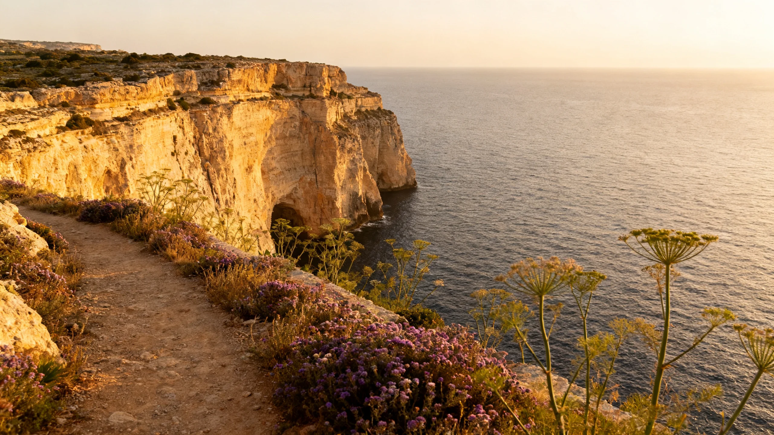
- Walk along the cliff for about 3 km. The cliffs are 60-80 metres above the sea here, with caves and small natural arches visible below.
- The path passes the Wied il-Mielah natural arch (a smaller cousin of the former Azure Window, still standing), an obvious limestone bridge formation.
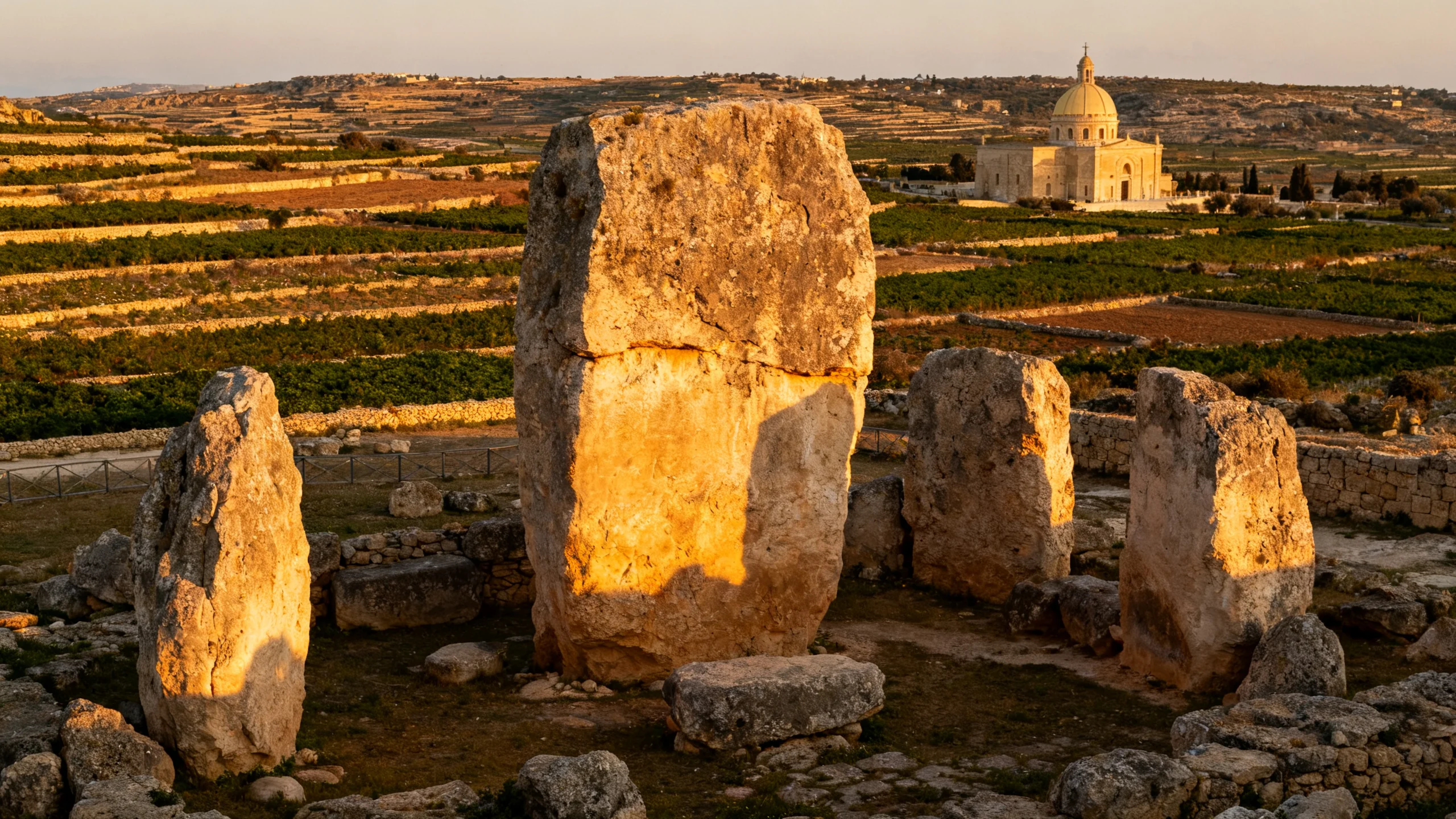
- Continue another 1 km to Gharb village. The first thing you see entering Gharb is the dome of the Ta’ Pinu sanctuary (a large early-20th-century basilica).
- Either return on the same path or arrange car/taxi pickup at Gharb.
What you see:
- The full western Gozo coast.
- The Wied il-Mielah arch (still intact, photograph as the Azure Window-style memory site).
- The Dwejra Inland Sea from above (the famous cave tunnel visible from a different angle).
- The Ta’ Pinu basilica in the distance inland.
- In autumn, the salt-pan flats along the smaller Marsalforn coast (visible across the agricultural valley).
Combine with:
- A morning visit to Ggantija temples in Xagħra (15 minutes’ drive east of the walk start).
- Lunch at Ta’ Frenc in Xagħra (book ahead) before the walk.
- An afternoon swim at Daħlet Qorrot or Mġarr ix-Xini after the walk.
Shorter alternatives
If the routes above are too long, two shorter options:
Mġarr ix-Xini valley walk (Sannat to Mġarr ix-Xini bay): 2 km one way, 45 minutes. Follows a small valley from Sannat village down to the swimming bay. Includes the small fortified Mgarr ix-Xini Tower (a Knight-era coastal watchtower).
Marsalforn salt pans walk: from Marsalforn village west along the coast road past the salt pans. 1.5 km one way, 30 minutes. Mostly flat. The salt pans are working harvesting operations from May to September; you may see workers raking and bagging the harvest.
When to go
Best months: March-May (spring flowers, mild temperatures, longest visibility) and September-November (warm light, low crowds, no rain).
Avoid: June-August (heat, no shade), December-February (rain risk, slippery limestone).
Time of day: early morning (07:00-10:00) or late afternoon (16:00-19:00) for the best light and coolest temperatures.
What to bring
- Sturdy walking shoes (trail running shoes or light hiking boots). Closed-toe is essential; limestone is sharp.
- Water: 1.5-2 litres per person.
- Sun hat with brim.
- Sunscreen (30+ SPF).
- Light layer (the wind on the cliffs can be cool even in summer).
- Phone with offline map (the routes are unmarked; cell signal varies).
- Small first-aid kit (the limestone scrapes; bring antiseptic and plasters).
Guided options
For travellers who want guided walking, two options:
Book a guided Gozo walking tour on GetYourGuide. Most operators run half-day walks with English-speaking guides familiar with the unmarked paths.
Malta Walking Tours (a local company based in Victoria) runs the most informed guided walks on the island, with the option of custom routes for groups. €30-45 per person.
What to skip
- Walking these routes in July or August afternoons. Heat exhaustion is a real risk on exposed limestone.
- Following advertised “Gozo walking tours” that drive between viewpoints. These are essentially bus tours with short walks; the real Gozo walking experience requires actually walking the cliff paths.
- Stepping off the cliff path to “see better”. The Gozitan limestone is undercut in places and can collapse. The path exists where it does for a reason.
Accessibility
These routes are not wheelchair-accessible or stroller-friendly. The cliff paths are uneven natural limestone with loose stones in places.
For accessible Gozo nature visits, the Ramla Bay beach approach (paved road to the parking area, 100m to the sand) and the San Anton Gardens (technically on Malta, but similar formal-garden feel) are the alternatives.
For the broader Gozo regional context, see the Gozo regional hub.
Related reading
- Gozo region hub: trip-planning context.
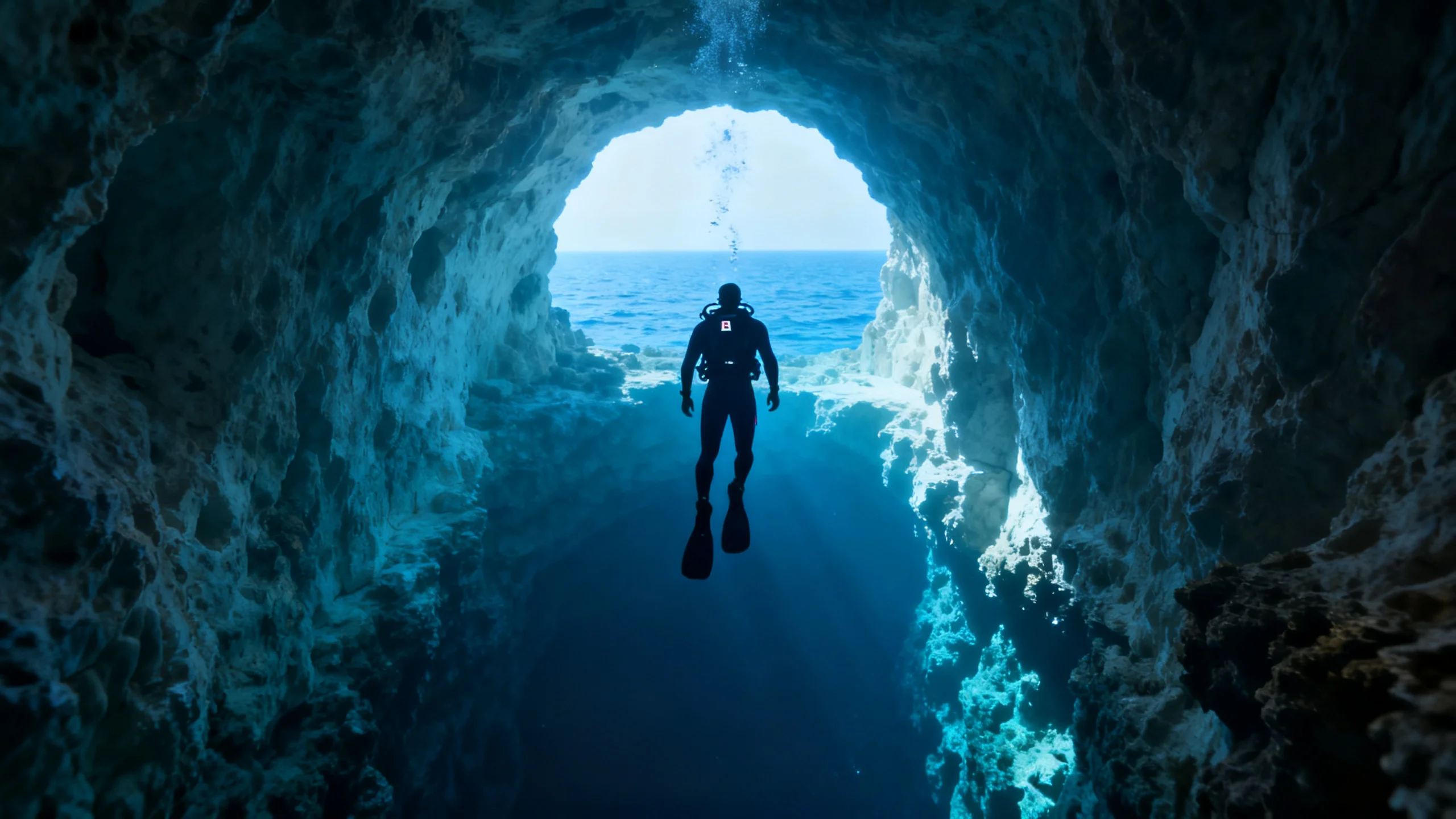
- Diving in Malta and Gozo: the underwater pair.
- Active 7-day Malta: the trip that builds these walks in.
- Gozo farmhouses: the slow-base for a hiking week.
- Limestone architecture: the stone that the cliffs are made of.